Three photographs from the Archives showing something of QCYC's history.
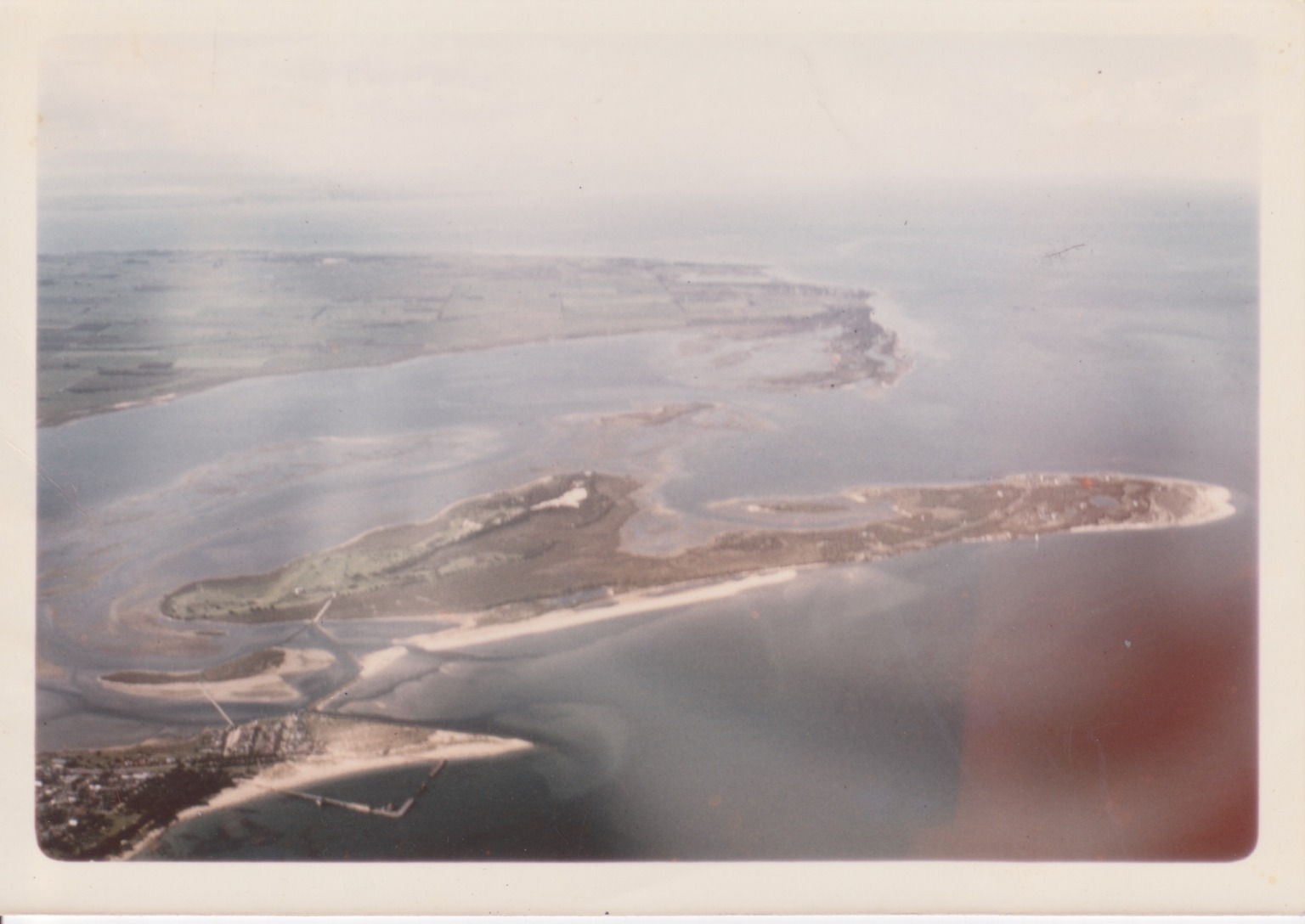
The first (below) is an aerial view taken in 1974. The spit of land with the clubhouse can just be seen in the bottom left quadrant. The Cut is discernible in outline only and Queenscliff harbour is also barely visible, although the mooring area confined by the old jetties can be seen.
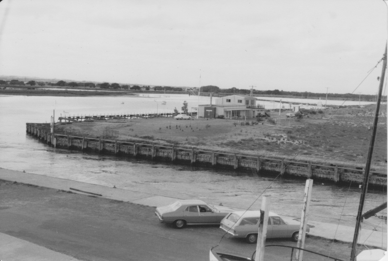
The second (below) is a picture of the clubhouse across the Cut, taken in April 1980. It shows the old timber wall of the Cut that has now been replaced by rock, as well as the sparse vegetation around the clubhouse.
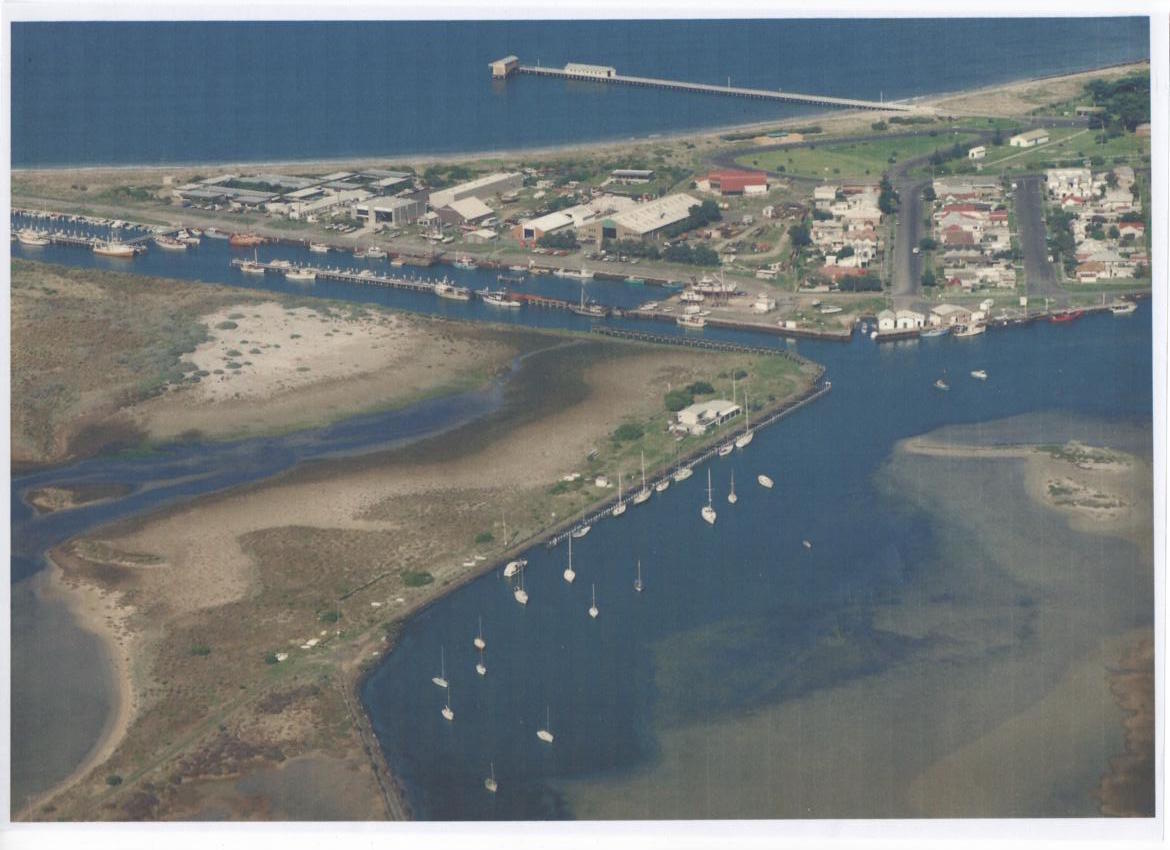
The third (below) is an aerial view taken in 1986. The first Queenscliff-Sorrento ferry service commenced the following year. The access road to the Club was between the clubhouse and the wharf.
Full image available here
Last Modified on 22/12/2015 18:06